








You can get detailed transit directions to your destination, including departure times, connections, and fares.
Fares are listed for suggested routes in some countries and regions. By default, they reflect the cost with a transit card, though you can see the cash fare instead. You can also plan for a future departure or arrival time, and Siri can give you transit directions, too.
Here’s how to get transit directions in Maps on iPad.
Note: Public transportation information isn’t available in all countries or regions.
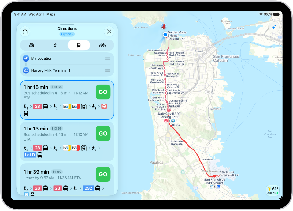
Get transit directions
- Go to the Maps app on your iPad.
-
Touch and hold anywhere on the map or enter an address in the search field and then tap the directions button.
If your preferred travel mode isn’t Transit, tap the directions button, then tap the Travel Mode button.
- Tap Go or Steps for the route you want to take.
- To see only the schedules of your preferred transit method, tap Options (below Directions) and then turn off any type you don’t want to use.
Siri: You can also ask Siri something like, “Give me transit directions to the Ferry Building.” Learn how to use Siri.
Plan for a future departure or arrival time
- Open the Maps app on your iPad.
- Get transit directions, as above.
- Tap Options (below Directions), tap Leave at or Arrive by, select a time and date, and then tap the Done button.
Show cash or transit card fares
Suggested routes list fares in some countries and regions. By default, fares reflect the cost of using a transit card, though you can see the cash fare instead.
- Open the Maps app on your iPad.
- Get transit directions, as above.
- Tap Options (below Directions), tap Cash Fares, and then tap the Done button.
- To redisplay the fares when using transit cards again, tap Cash Fares, tap Transit Card Fares, and then tap the Done button.
Get schedules for local transit
You can get one-tap access to the departure times for stops and stations near you.
- Open the Maps app on your iPad.
- Swipe up on the search field, swipe right on the icons below Places, and then tap the Add button.
- Tap Nearby Transit to add it to your Places.
-
Below Places, tap Transit and tap a nearby stop to see schedules and delays.
Tip: Touch and hold a line, then tap Pin to put it at the top of the list.
See major transit lines
- Open the Maps app on your iPad.
- With a map showing, tap the Map Modes button, which appears as the Exploring Map Mode button, the Driving Map Mode button, the Transit Map Mode button, or the Satellite Map Mode button on the right.
- Select Transit and then tap the Close button.
See also